
~Souther Fell~
A featured fell is my way of studying each fell in turn and recording thoughts and observations.
A fell from which the views are generally better than the views of the fell itself. Pronounced "Souter", this mountain is the most easterly of the Northern Fells and has a wrap-around drainage system, known as the River Glenderamackin. The summit has no significant cairn, but a lower point on the plateau has been cairned.
Souther Fell
The obvious route up from Mungrisdale Village and shown on AW's SF5, is not possible as the farmer has barred access. A short diversion is necessary, less of an issue for an enthusiastic starter, than a tired descender.
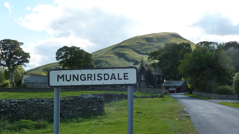
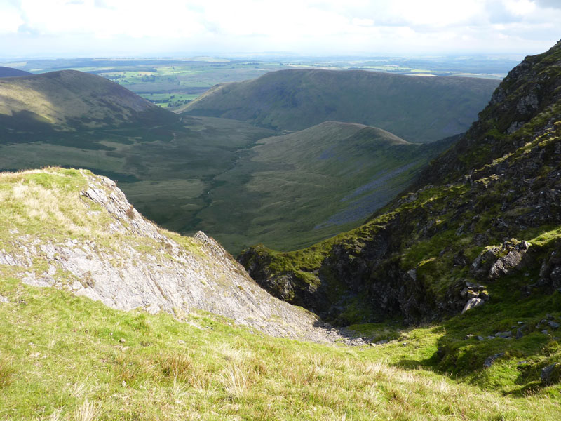
Mungrisdale Village from the ascent of Souther Fell
Souther Fell
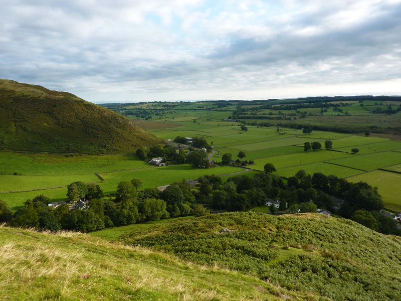
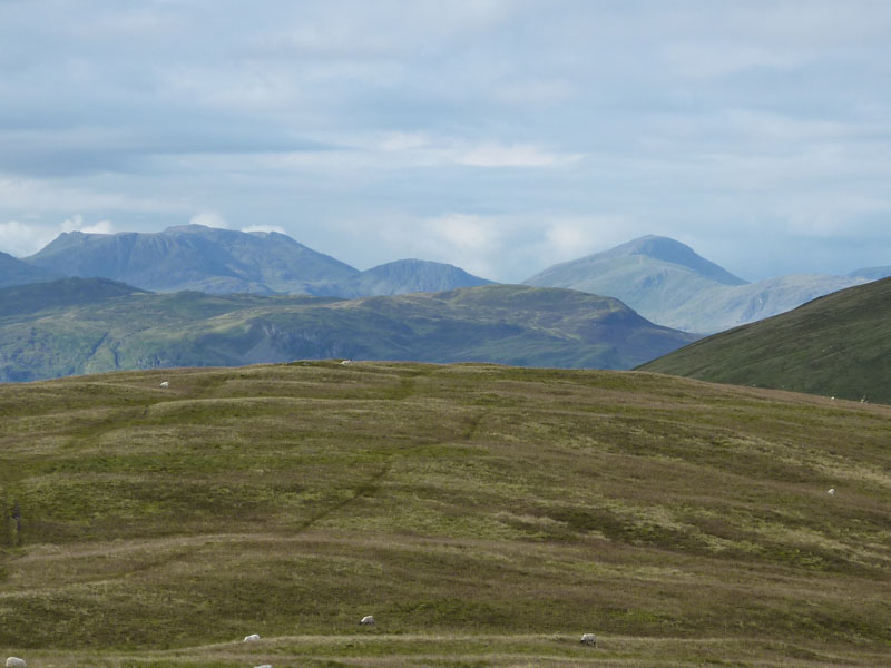
The summit plateau, one of the edges of Lakeland. Looking south, fine mountains come into view. Look east and you look across the flatlands to the Eden Valley.
Bannerdale Crags
Bannerdale Crags lies in front of Blencathra.
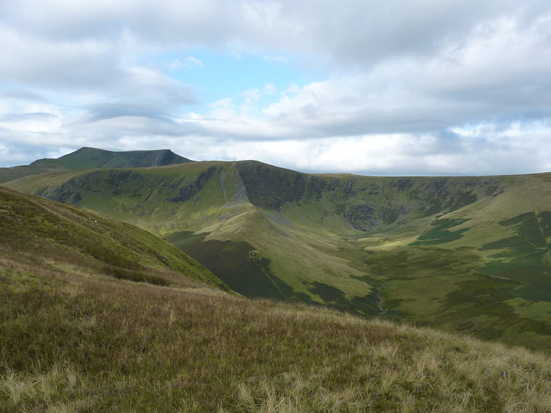
Souther Fell from Bannerdale Crags
This photo is the reverse of the one above it, taken on the same day. "The Tongue" is visible on the left - a ridge extending off Bowscale Fell.
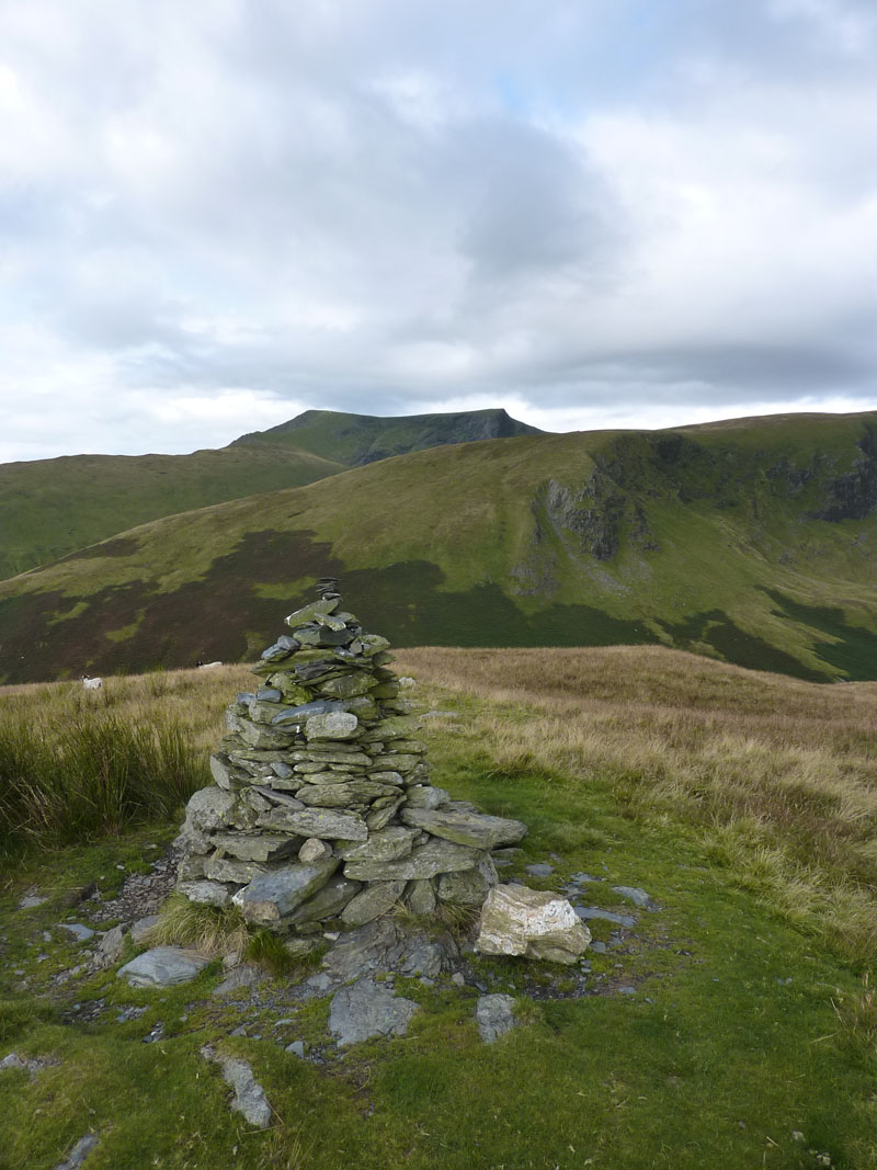
The (non-summit) Cairn on Souther Fell
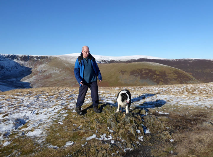
Peter & Molly on top of Souther Fell 20th Jan. 2023
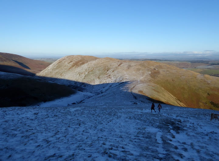
Souther Fell from Scales Fell
Where: Northern On the eastern edge.
Height: 1680ft.
Suggested Route: From Mungrisdale Village, a short way down the road to Scales and then follow the track up to join the route shown in Wainwright's Northern Fells.
My Frequency: Three times.
Whilst You're There: Bannerdale Crags
Someone Else's View: Pete Collins' walk of 6th May 2007.
Walk Dates: with links to Reports (on this website) where applicable:
All photos copyright Richard Ratcliffe 2011 ©